I like maps, always have. They are fascinating and allow for a lot of information to be viewed in a graphical way. They can also offer a means for comparison.

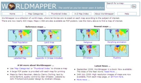
Worldmapper is a wonderful collection of world maps that allows viewers to see various types of information in a graphic way, ie. as a map. I found a reference to this site on the blog, Using ICT in education, and had to have a play.
The site has 366 complete world maps and about 600 in total. They keep adding more. The maps and data files”cover mainly United Nations member states, plus a few others. The maps are cartograms and each maps ” territories that have are re-sized according to the variable being mapped.” Continue reading
Filed under: Education, Global, Research, Resources - Images, tools | Tagged: cartography, culture, data, demographics, design, economics, geography, graphics, maps, politics, statistics, United Nations member states, visualization, worldmapper | 1 Comment »


